Google Earth
- 1.83K
- 4.3
- Installs
- 20.00M
- Version
- Varies with device

Screenshots
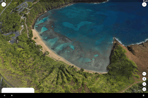
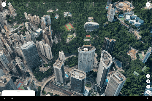
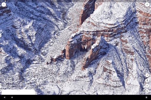
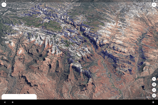
Pros
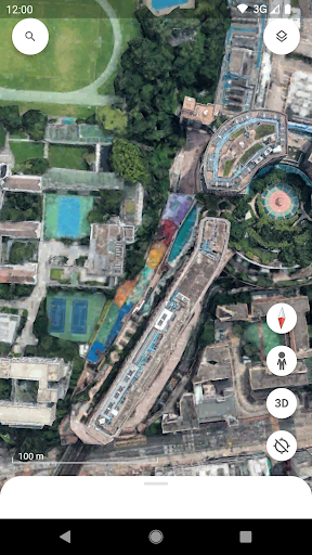
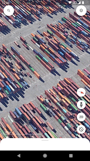
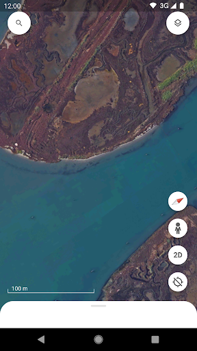
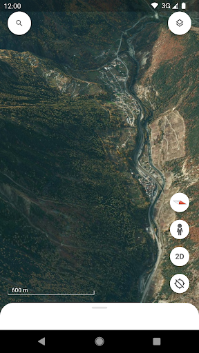
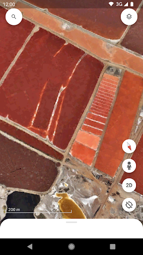
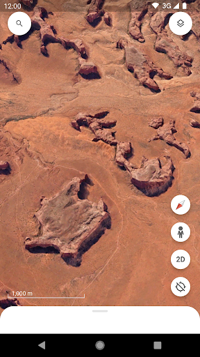
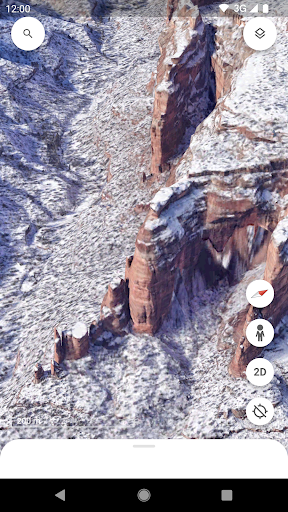
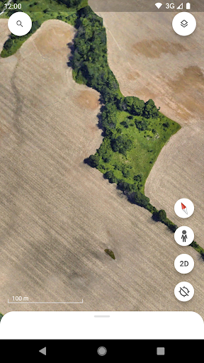
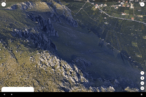
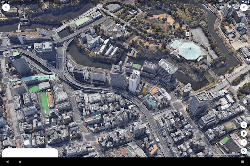
Google Earth delivers immersive, high-resolution satellite and aerial imagery with realistic 3D terrain and building models, letting users virtually explore any location on Earth. Its zoom, tilt and historical imagery features reveal changes over time, making it ideal for visual discovery, geographic context and compelling map-based storytelling.
It offers robust tools for education, research and planning, including distance and area measurement, parcel annotation, layered data views and guided Voyager tours. Integration with Street View and placemarks helps users analyze landscapes, track environmental or urban change, and create shareable tours and presentations for classrooms or professional projects.
Google Earth is accessible across web, mobile and desktop platforms and supports KML/KMZ import-export, simplifying data integration and collaboration. Easy sharing of saved places, embedded maps and offline capabilities in some apps make it practical for fieldwork, itinerary planning and team projects, while maintaining seamless links to Google Drive and Maps.
Cons
Google Earth sometimes shows outdated or low-resolution imagery, especially in rural or rapidly changing urban areas. This can mislead users relying on current maps for planning, research, or navigation. Limited update frequency and varying image quality reduce reliability for time-sensitive or precision-dependent tasks. Businesses and emergency planners should verify with local sources.
Google Earth is resource-intensive; high-resolution 3D imagery, detailed terrain, and smooth zooming demand significant CPU, GPU, and memory. Older PCs, limited mobile devices, or slow internet can cause lag, crashes, or degraded visuals. Users in low-bandwidth areas may be unable to access full features reliably. This limits its usefulness for on-the-go or fieldwork scenarios.
Google Earth aggregates public and satellite data, which raises privacy and ethical concerns. High-detail imagery can reveal sensitive locations, and third-party overlays may include inaccurate or intrusive information. Limited control over what data appears and how it's used can be problematic for privacy-conscious users and organizations. Clearer privacy settings and transparency would help mitigate these concerns.


